Tools · June 2026 · 4 min read
Inside the South Bay Map: Boundaries, Schools, and Local Notes
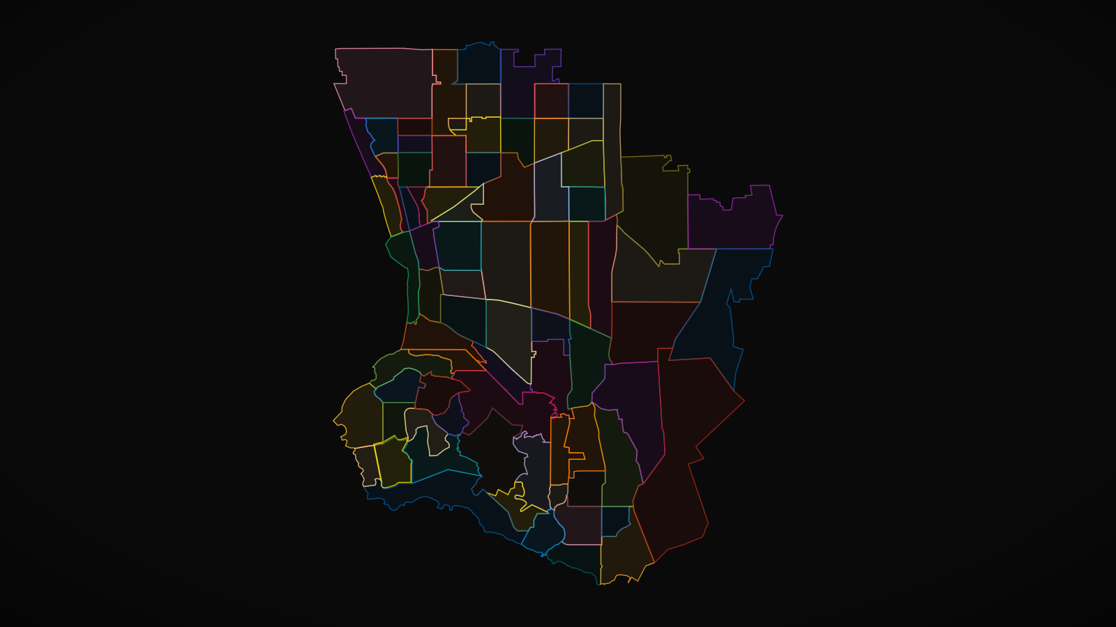
Where does Valmonte actually end? Which streets feed Lunada Bay Elementary? Is that house on the south slope in an HOA, and who runs it? These are the questions that decide whether a home fits your life, and they're questions about geography, not square footage. Answering them is most of what I do all day.
So I Built the Map
Over years of working the South Bay I've been drawing the geography that actually drives decisions here: true neighborhood boundaries, the full set of MLS areas from the beach cities to the harbor, city lines, zip codes, every PVPUSD school, and the landmarks that define daily life. That map now lives on this site, and it is the same one I pull up when I sit down with clients.
What's On It Today
- Every MLS area, labeled the way the MLS actually labels them, from Hollywood Riviera to Lunada Bay.
- True neighborhood boundaries, including enclaves like Monaco, The Terraces, and Sea Breeze.
- City boundaries and zip codes.
- All PVPUSD school locations.
- Landmarks: golf clubs, Terranea, trailheads, scenic overlooks, and more.
Where It's Going
This is a living tool. I'm progressively adding neighborhood write ups, HOA information and contacts where they exist, and the kind of institutional knowledge that usually lives only in a longtime agent's head. Some of it is already in there. Click Monaco and you'll find HOA notes today.
When you want to understand where you're actually buying, the boundaries, the schools, the community behind the address, open the map. And when a polygon raises a question, that is what I'm for.

Ian Zeljak
Realtor® · Realty ONE Group United · CA DRE# 02051683
Contact
Let's Talk About the South Bay
Whether you're selling a view home, hunting for the right neighborhood, or just curious what your street is doing. The conversation costs nothing.